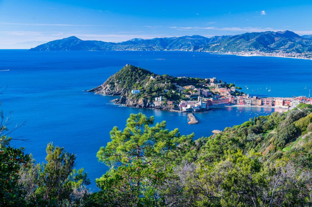
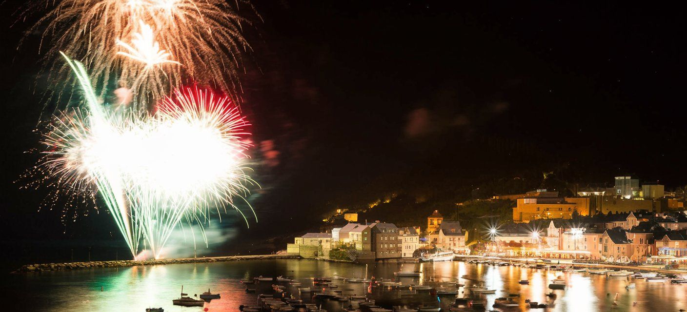
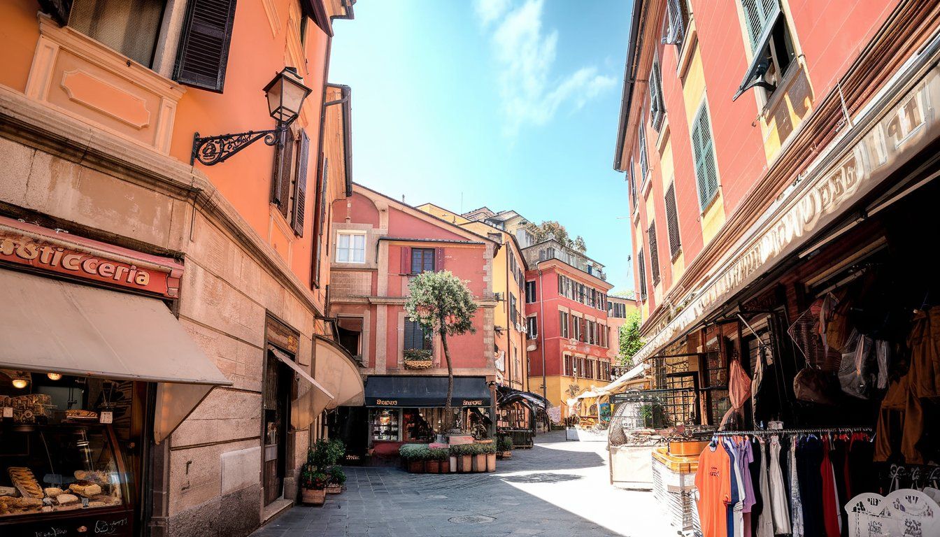
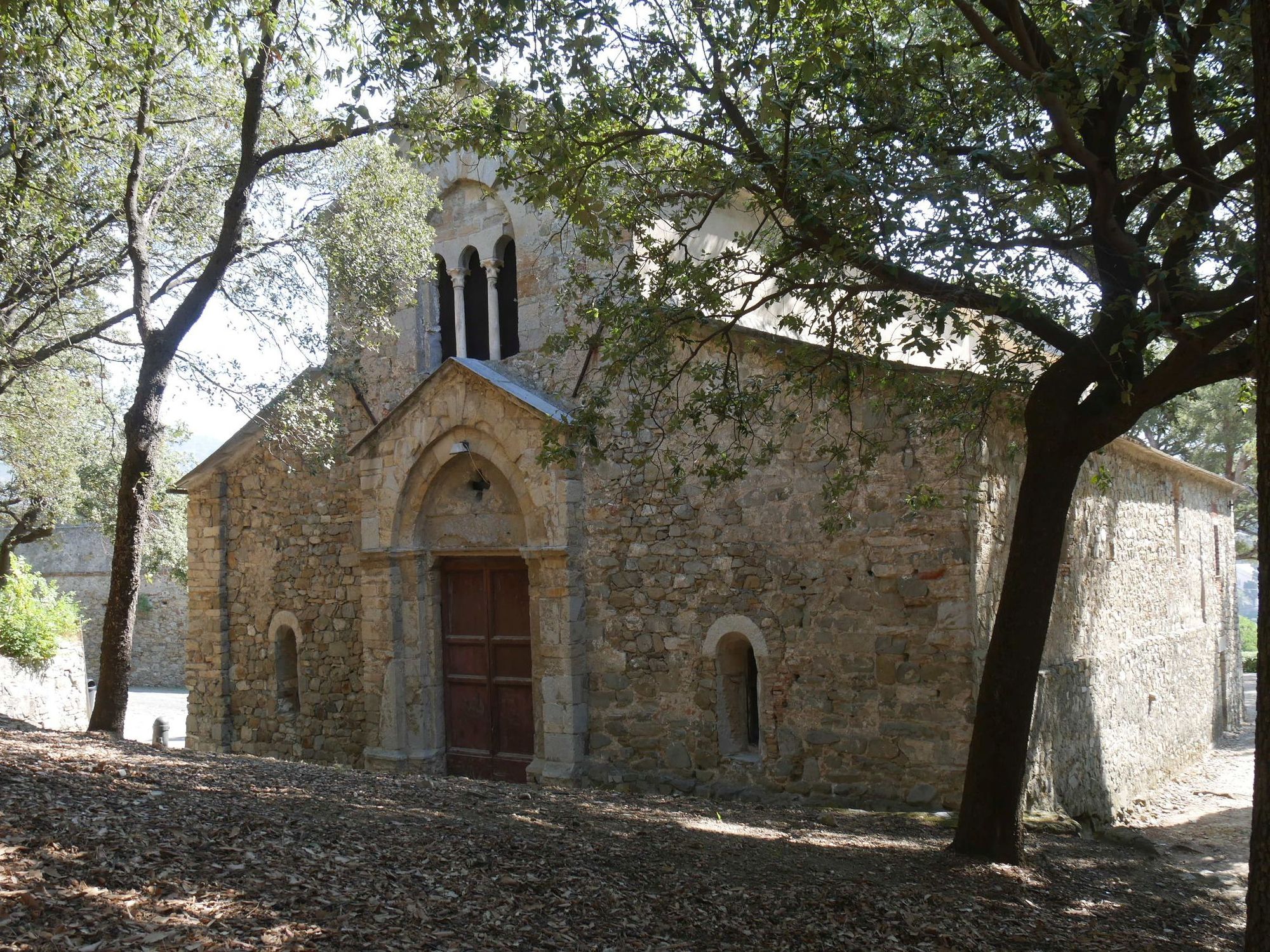
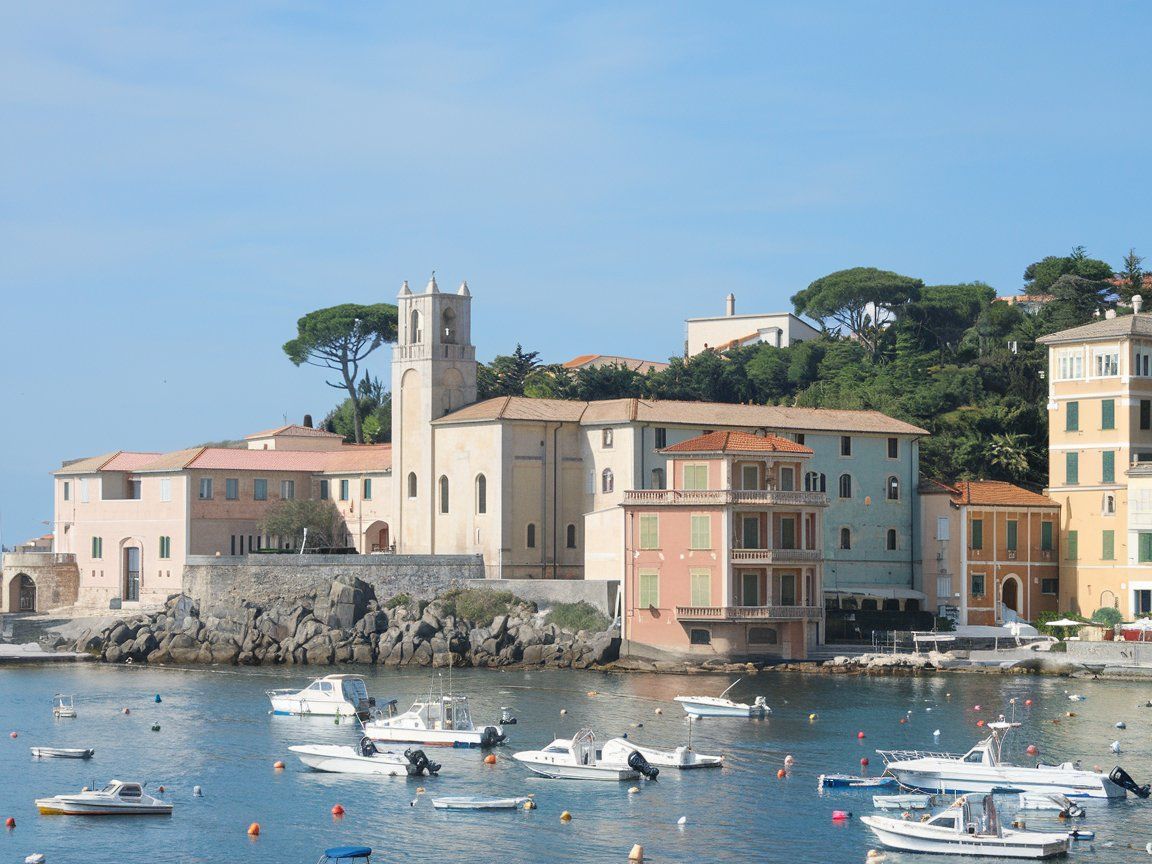
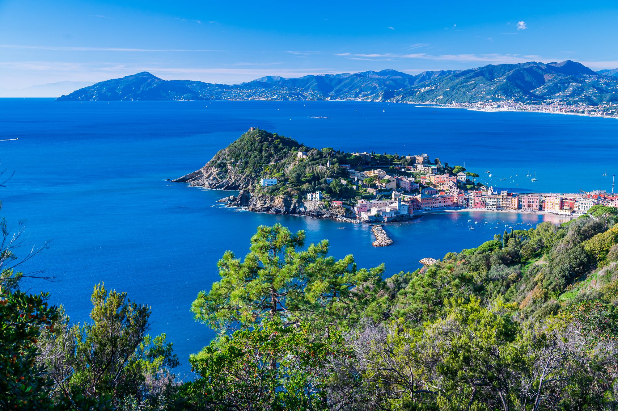
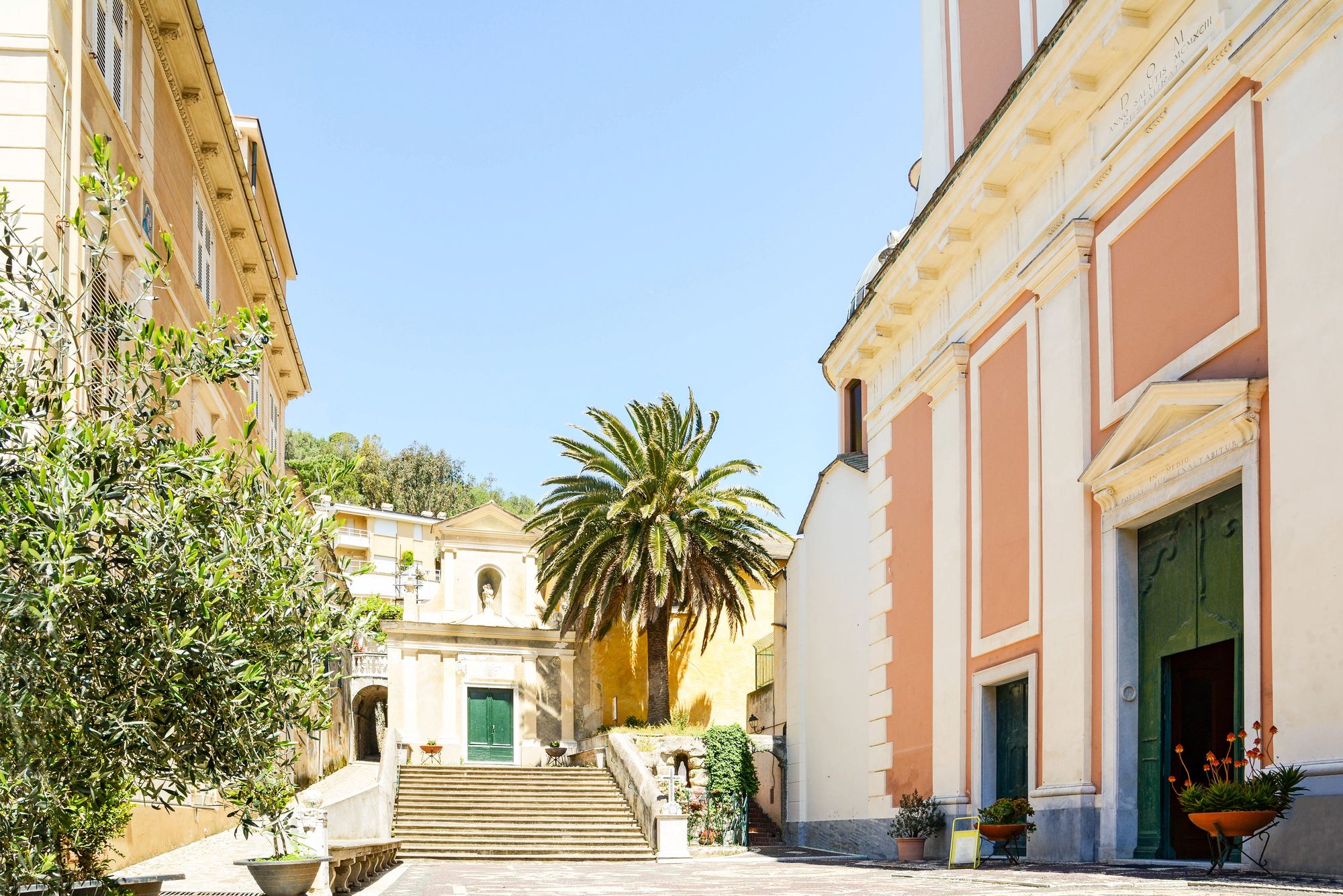
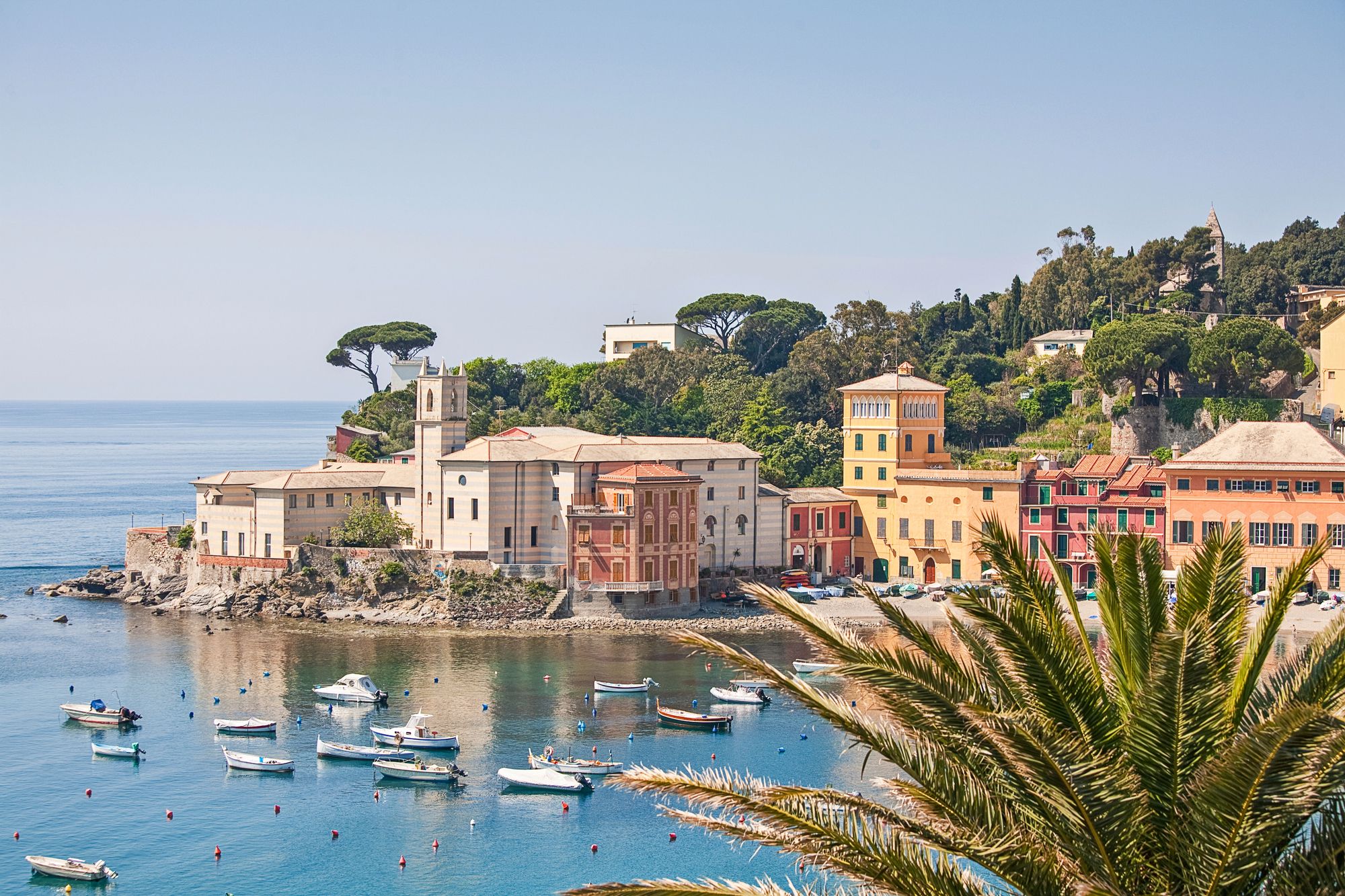
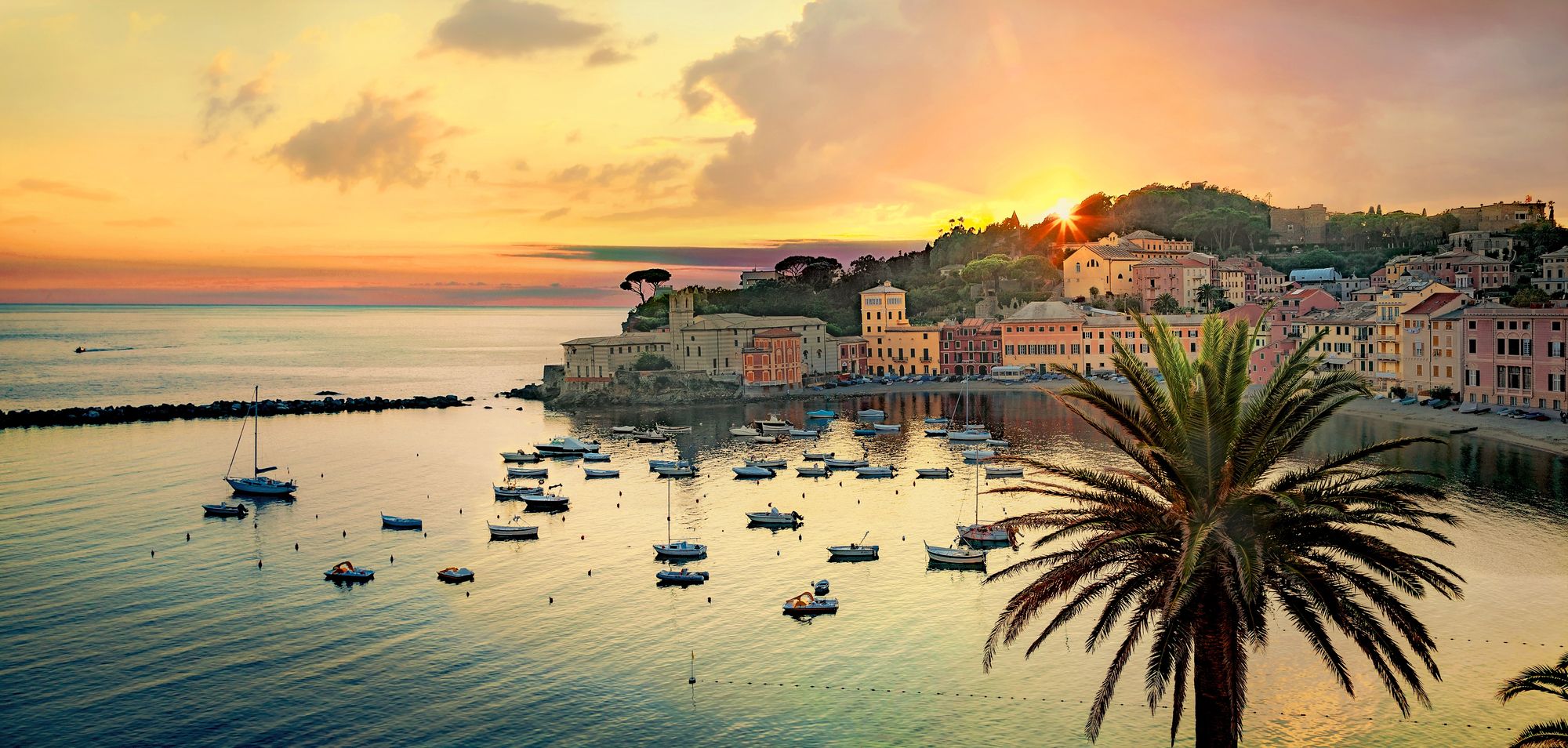
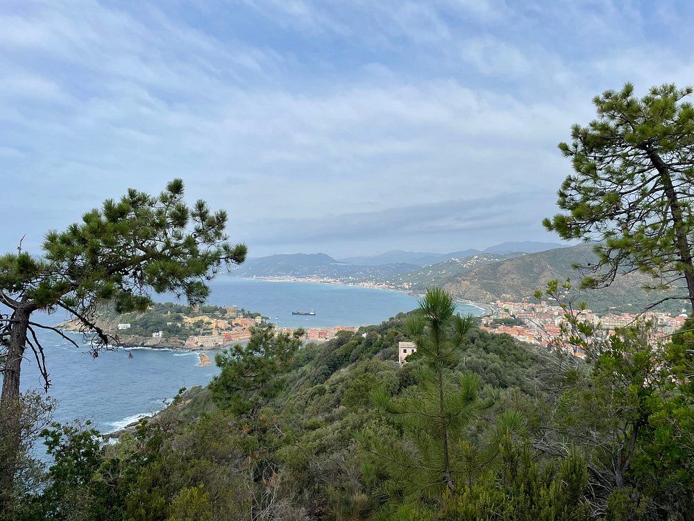
Tucked between Sestri Levante and Riva Trigoso on the Italian Riviera, Punta Manara gives you one of the most rewarding hiking experiences in Liguria. This scenic promontory rises 176 meters above the Tigullio Gulf, and the views up top? Absolutely sweeping, stretching across two bays. You’ll cover about 2.9 miles in around 90 minutes, and while the hike is moderately challenging, most people manage it just fine without any special gear.
Your adventure kicks off right in the heart of Sestri Levante. The trail weaves between easy-going stretches and some steeper bits, but nothing too risky—families and casual hikers handle it all the time. As you climb, the Mediterranean greenery thickens, framing those coastal views that just keep getting better.
Find available hotels and vacation homes instantly. No fees, best rates guaranteed!
Check Availability Now
The real magic happens at the summit. You get this unique double perspective: Sestri Levante on one side, Riva Trigoso on the other. It’s wild how you can see both the lively beach town and the quieter fishing village from a single spot. If you want to beat the heat (and the crowds), set out early or wait until late afternoon, especially from May through September.
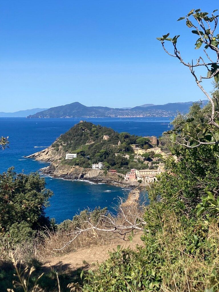
Overview of Punta Manara
Punta Manara juts out into the Mediterranean like a triangle, right along the Ligurian Riviera. It’s a natural landmark with killer views and easy access to hiking between two lovely coastal towns.
Geographic Location
You’ll find Punta Manara between Sestri Levante and Riva Trigoso on Italy’s Ligurian coast. It’s part of the Gulf of Tigullio, about 50 kilometers southeast of Genoa.
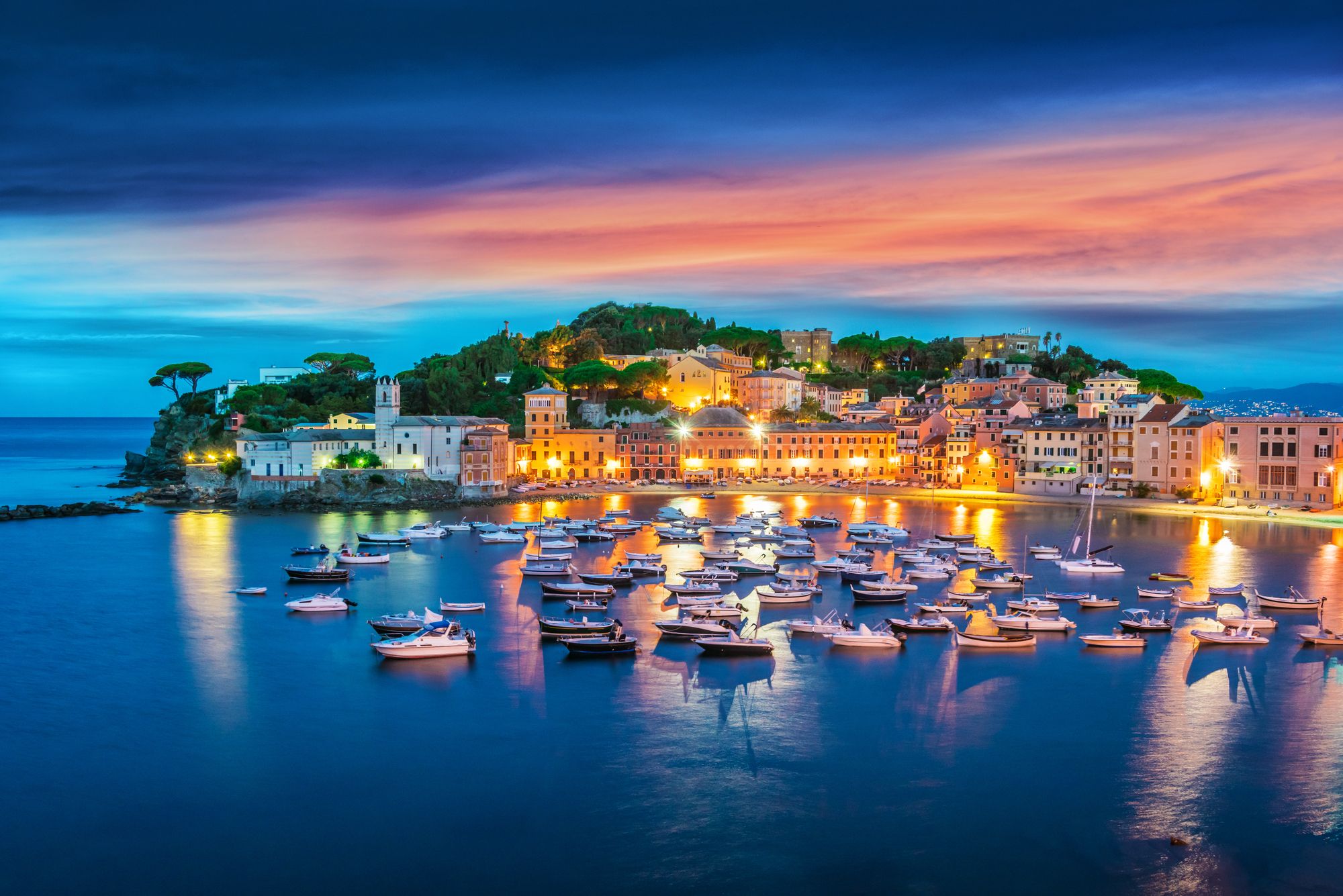
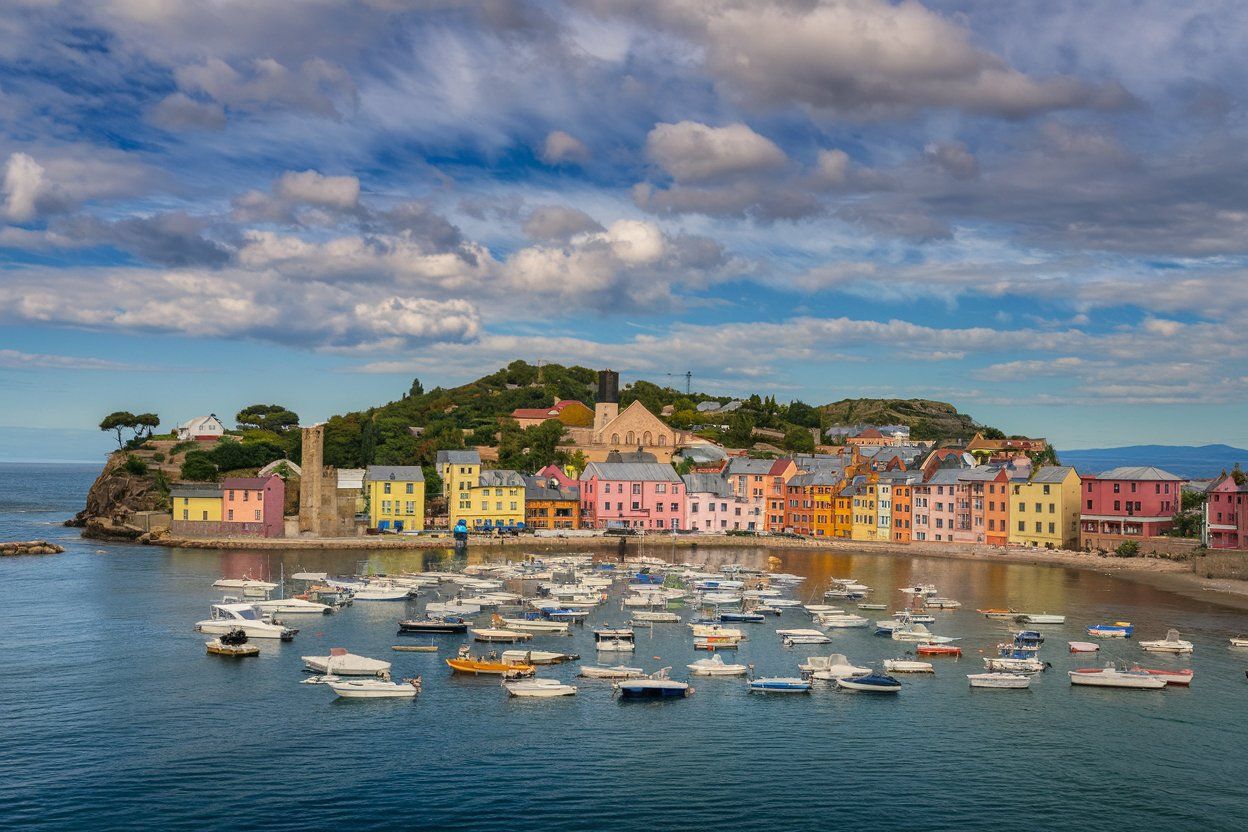
The promontory divides Sestri Levante’s well-known Bay of Fairy Tales (Baia delle Favole) from the quieter Riva Trigoso beaches. You can get there easily from Sestri Levante’s center—just follow the marked paths starting near the historic part of town.
From Punta Manara, you’ll catch unique views of both towns and the wider Ligurian coast. On a clear day, you might even spot Portofino in the distance.
Natural Features and Landscape
The promontory rises nearly 200 meters above sea level, blanketed by Mediterranean pine forests, olive groves, and classic coastal plants. Rocky outcrops pop up here and there, making for great viewpoints.
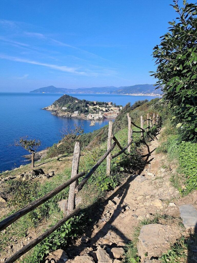
The terrain shifts from gentle slopes to steeper spots, where stone steps help you along. Natural terraces dot the trail, perfect for catching your breath or snapping a few photos.
You’ll spot maritime pines, holm oaks, and plenty of aromatic herbs—rosemary and thyme are everywhere. The area is a haven for birds, especially those nesting in the protected zone.
At the top, a small tower (Torre di Punta Manara) stands as a historic lookout. Locals once used it to watch for pirates; now, it’s a welcome sight for hikers reaching the summit.
Easy booking across stunning accommodations from historic palazzos to modern retreats. Colorful buildings and pristine beaches create the perfect Mediterranean getaway!
Secure Your Italian Retreat
Hiking and Outdoor Activities
Punta Manara really shines for hiking. The trails wind through Mediterranean scrub and offer those big views of the Gulf of Tigullio and beyond.
Main Hiking Trails
Most people start hiking from central Sestri Levante, near Via XXV Aprile. Signs point you toward Punta Manara. The trail is a 2.9-mile out-and-back, moderately tough but doable for anyone with reasonable fitness. It usually takes about 1.5 hours.
You’ll climb steadily through lush vegetation to the promontory’s peak at 176 meters. Some sections get steeper, but the path stays accessible.
At the top, you get amazing views of both the Bay of Silence and the wider Gulf of Tigullio. Don’t forget your camera—there are plenty of photo ops.
Punta Baffe Route
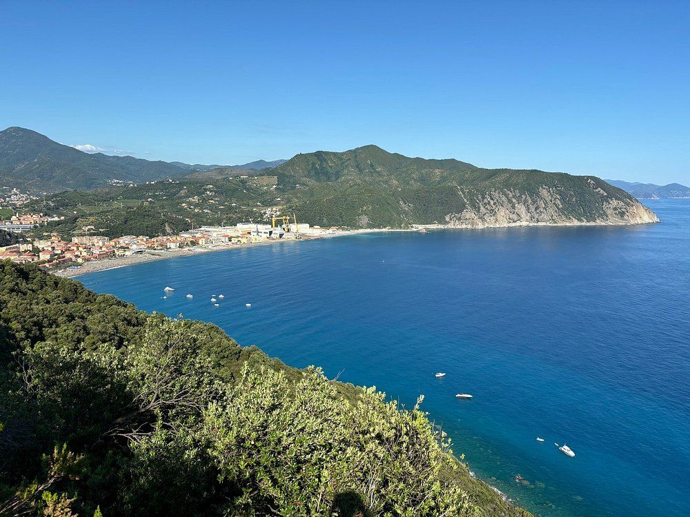
If you want more of a challenge, the trail to Punta Baffe keeps going past Punta Manara, toward Riva Trigoso and eventually Moneglia.
This route has more ups and downs and a few trickier bits, but intermediate hikers usually handle it fine. You’ll want to set aside a full day if you’re doing the whole thing.
Expect fewer people and more wild Mediterranean scenery. Now and then, you’ll spot hidden coves below—some are even reachable with a short detour.
Best Time to Visit
Spring (April-May) and fall (September-October) are the sweet spots for hiking. Temperatures hover around 65-75°F (18-24°C), making it comfortable to be outdoors.
You can hike in summer, but aim for early morning to dodge the midday heat. July and August get hot—sometimes over 85°F (29°C)—so plan accordingly.
From seaside hotels to charming villas, find your perfect stay in this enchanting two-bay peninsula. Instant booking with best price guarantee!
Browse Accommodations Now
Winters are usually mild, though the weather can surprise you. Rain between December and February sometimes makes the trails slick, so check the forecast before you go.
Weekdays are way quieter than weekends, especially in summer when Italian vacationers flock to the area.
Essential Travel Tips
If you’re planning a trip to Punta Manara, it pays to prep a bit. Here’s the lowdown on getting there and important visitor info.
How to Get There
Genoa is the nearest major city, about 50 km from Sestri Levante. You can reach Sestri Levante by train from Genoa in about 45 minutes. The train station is right in the center, which makes things easier.
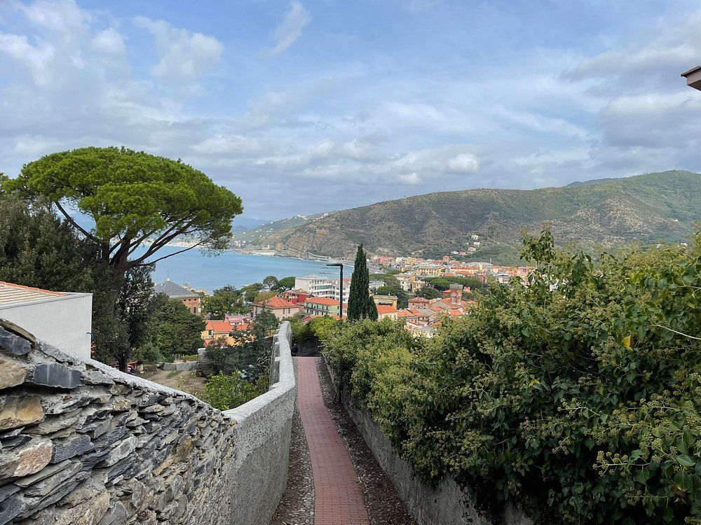
From the center of Sestri Levante, you’ve got a few ways to get to the Punta Manara trailhead:
- Walking: It’s about a 15-20 minute stroll from town
- Local bus: Hop on the town bus and get off at “Via Punta Manara”
- Taxi: Available at the train station (usually €8-10)
If you’re driving from Genoa, take the A12 highway and exit at Sestri Levante. There’s public parking near the center, but in summer, spots fill up fast.
Visitor Information and Safety
Punta Manara trail stays free to access and open year-round. The best times to hike are spring (April-June) and fall (September-October) when it’s cooler and less crowded.
The hike takes around 1.5 hours and is moderately tough. Wear good shoes—some parts get rocky and uneven. Sun protection is a must, especially in summer.
A few safety tips:
- Bring at least 1 liter of water per person
- Stick to marked paths to help protect the ecosystem
- Check the weather before you go
- There’s not much shade, so skip midday hikes in summer
Cell phone reception is usually solid, but downloading an offline map is a smart move.
Nearby Accommodations
Here are some nearby accommodations in Sestri Levante:
Elegant resorts, waterfront apartments, and vacation rentals with immediate confirmation. Between the Bay of Fables and Bay of Silence, your dream Italian escape awaits!
See Available Properties

